In an era of escalating climate volatility, underwriters, brokers, and risk managers can no longer rely on historical data alone. The ability to analyze, predict, and respond to location-specific risks in real-time is a critical requirement for sound decision-making. Location intelligence software has evolved from a simple mapping tool into an essential analytical engine, empowering professionals to assess portfolio exposure, underwrite with precision, and manage asset valuations effectively. To better understand how valuation impacts insurance, especially when assessing assets, explore resources on understanding Actual Cash Value in insurance claims. This shift makes selecting the best location intelligence software a strategic imperative for maintaining profitability and resilience.
This guide moves beyond generic feature lists to offer a practical, business-focused comparison tailored specifically for the demands of the climate risk and commercial insurance sectors. We cut through the marketing noise to provide a direct analysis of the top platforms available, from specialized insurtech solutions like Insurtech.bpcorp.eu to comprehensive GIS platforms like Esri ArcGIS and CARTO.
Inside, you will find a detailed breakdown of each solution, complete with screenshots, direct links, and insights into their specific strengths and limitations for insurance use cases. We evaluate each platform on its ability to deliver actionable insights, from hyperlocal disaster monitoring and claims processing to enterprise-grade spatial analytics. Our objective is to equip you with the information needed to select the right software to protect assets, improve underwriting accuracy, and drive strategic growth.
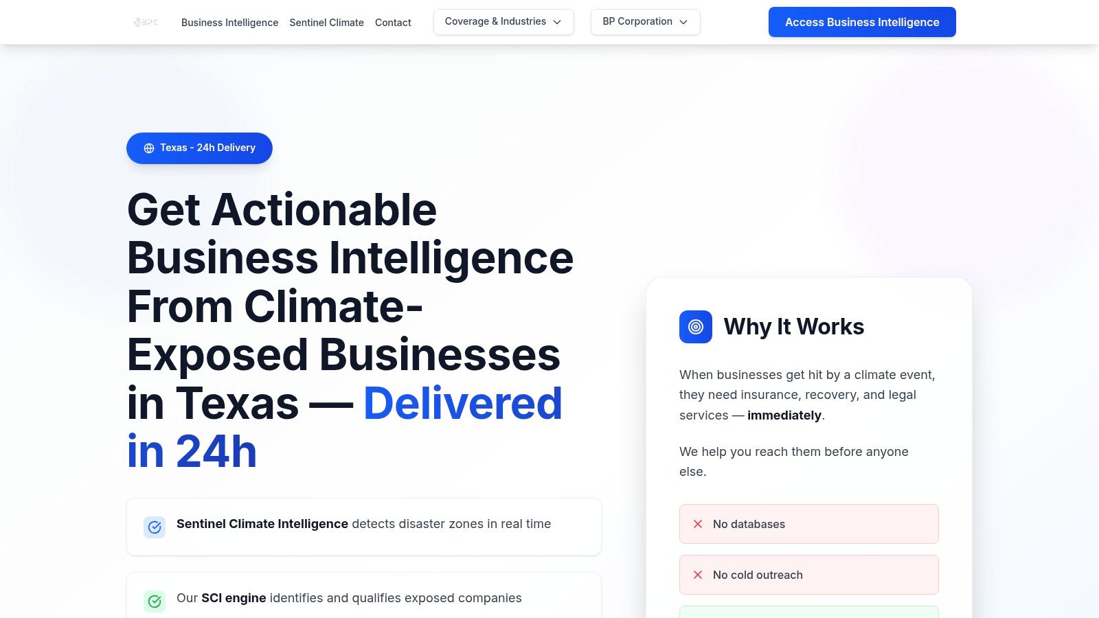
1. Sentinel Shield by BPC GROUP
Sentinel Shield by BPC GROUP provides a highly specialized application of location intelligence, making it a top-tier choice for professionals in commercial insurance, legal services, and disaster recovery. It transforms raw climate data into actionable business opportunities with exceptional speed and precision. The platform's core strength is its ability to monitor catastrophic events in real-time and immediately identify impacted commercial entities at a granular, ZIP-code level.
This is not just a monitoring tool; it is a complete business development engine. Within minutes of a climate event such as a flood, wildfire, or major storm, Sentinel Shield generates a list of affected businesses. Its AI-powered Clyma™ engine then enriches this data with verified decision-maker contacts and direct communication channels. This process eliminates the need for cold outreach by delivering qualified, high-intent prospects precisely when they require urgent assistance.
Insurtech.bpcorp.eu
Key Features and Strategic Advantages
- Hyper-Local, Real-Time Monitoring: Sentinel Shield processes data from its Sentinel Climate Intelligence™ engine every 15 minutes. This frequency provides a significant competitive edge, allowing users to be the first to contact businesses in distress.
- AI-Powered Lead Enrichment: The system moves beyond simple location alerts. By providing verified contact information for key decision-makers, it delivers CRM-ready leads that are primed for engagement.
- Risk-Free Pricing Model: Its pay-per-opportunity structure is a key differentiator. Clients only pay for validated leads that match their predefined criteria, removing upfront costs and ensuring a direct correlation between spend and tangible results.
- Rapid Deployment: Leads are delivered in CRM-ready formats within 24 hours of an event, ensuring that sales and outreach teams can act while the need for insurance, legal, or recovery services is at its peak.
Practical Use Cases
Sentinel Shield is one of the best location intelligence software solutions for proactive business development in the risk management sector. An insurance broker, for example, can receive a list of businesses impacted by a severe hailstorm in a specific Texas county, complete with contact details for operations managers. Similarly, a disaster recovery firm can target commercial properties affected by flash flooding, armed with the intelligence needed to offer immediate, relevant solutions. The platform’s methodology ensures high-quality data. You can learn more about Sentinel's accuracy methodology.
Current Limitations and Availability
The primary constraint is its current geographic focus on Texas. While this provides deep, hyperlocal intelligence across the state’s 254 counties, firms operating nationally must wait for its planned expansion into other high-risk states like Florida, Louisiana, and Oklahoma. Furthermore, while the pay-per-lead model is attractive, pricing can vary based on the scale and type of climate event, requiring a custom quote for precise budget planning.
- Pros:
- Real-time (15-minute) monitoring of climate disasters.
- AI-enriched leads with verified contact details.
- No-risk, pay-per-opportunity pricing model.
- Extremely fast lead delivery (within 24 hours).
- Cons:
- Geographic coverage is currently limited to Texas.
- Pricing is variable and requires a custom quote.
Website: https://insurtech.bpcorp.eu
2. Esri ArcGIS
Esri ArcGIS is the global standard for geographic information systems (GIS), offering an exhaustive suite of tools that form the backbone of many enterprise-level location intelligence strategies. For insurance and risk management, its power lies in its deep analytical capabilities, allowing underwriters and risk managers to move beyond simple point-mapping to sophisticated spatial modeling. The platform enables detailed risk accumulation analysis, catastrophic event modeling, and territory optimization with a level of precision few competitors can match.
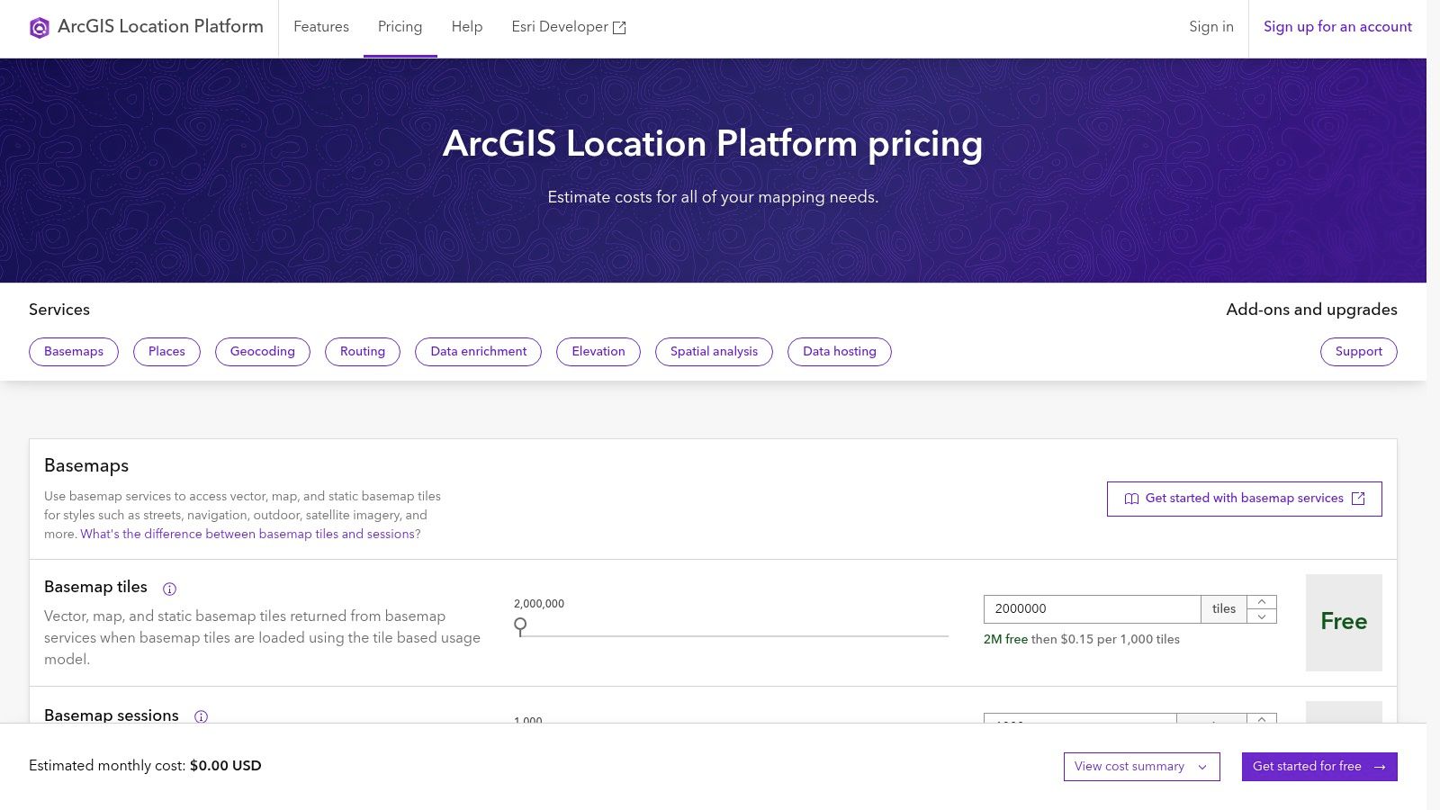
Esri ArcGIS
This makes it one of the best location intelligence software options for organizations requiring granular control and custom analytics. Insurers can integrate proprietary risk data with Esri’s vast library of demographic, environmental, and infrastructure data to create highly specific underwriting rules and pricing models.
Key Features and Considerations
The platform's structure is split between its flexible, pay-as-you-go ArcGIS Platform (for APIs and services like geocoding and routing) and the comprehensive ArcGIS Enterprise for self-hosted, large-scale deployments. This scalability is a key advantage. A small MGA can start with basic API calls for property lookups, while a global carrier can deploy a full enterprise solution to manage worldwide portfolio risk.
However, this depth comes with complexity. The licensing model, especially for Enterprise, can be intricate, and non-GIS professionals will face a steep learning curve compared to more user-friendly, out-of-the-box solutions. For organizations ready to invest in dedicated GIS expertise, the platform offers unparalleled power.
- Pros:
- Deepest spatial toolset on the market, supporting complex risk modeling.
- Highly scalable from single-user projects to full enterprise deployments.
- Extensive data ecosystem and a massive user community for support.
- Cons:
- Complex and potentially costly licensing structure for enterprise tiers.
- Requires specialized skills, posing a learning curve for non-GIS users.
Explore additional resources for Esri ArcGIS integration to better understand its implementation.
Website: https://location.arcgis.com/pricing
3. CARTO
CARTO is a cloud-native spatial analytics platform designed to integrate seamlessly with modern data warehouses like Snowflake, BigQuery, and Databricks. For insurance professionals, its core value is bringing advanced spatial analysis directly to where their data already lives. This eliminates complex data pipelines and allows underwriters and risk analysts to perform sophisticated analytics, such as portfolio exposure analysis or suitability modeling, within their existing cloud environment.
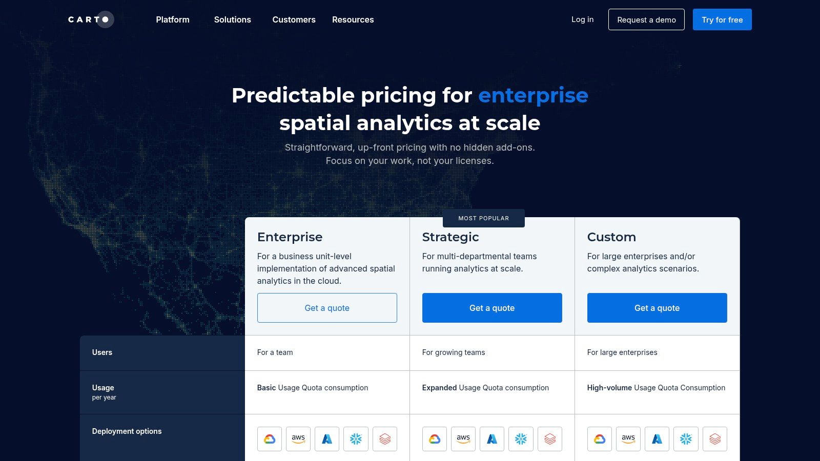
CARTO
This direct integration makes it one of the best location intelligence software choices for data-forward organizations aiming to operationalize spatial insights at scale. Insurers can leverage CARTO's low-code workflows and extensive library of analysis components to build custom risk dashboards and applications without needing to move massive datasets.
Key Features and Considerations
The platform offers a unified stack that caters to both business analysts and data scientists. Its low-code tools enable quick map creation and spatial analysis, while developer-focused SDKs and APIs provide the flexibility to build custom geospatial solutions. This dual approach helps bridge the gap between technical and non-technical teams, fostering a more collaborative approach to risk assessment.
A key advantage is its availability on cloud marketplaces like AWS and GCP, which simplifies procurement and deployment for enterprise teams. However, the platform's pricing is quote-based, meaning organizations cannot self-serve or budget without engaging the sales team first. This can be a hurdle for teams needing quick cost estimates for project planning.
- Pros:
- Strong, native integration with modern cloud data warehouses.
- Combines powerful low-code and developer tools in a single stack.
- Streamlined procurement through major cloud marketplaces.
- Cons:
- Quote-based pricing requires direct sales engagement for budgeting.
- May be overly complex for teams not already invested in a cloud data warehouse ecosystem.
Website: https://carto.com/pricing
4. Foursquare Studio
Foursquare Studio is a high-performance geospatial visualization and analytics platform designed for handling massive datasets with speed and ease. For insurance professionals, its primary strength is its ability to quickly render and analyze millions of data points—such as property locations, claims histories, or hazard zones—without requiring extensive backend infrastructure. This makes it a powerful tool for portfolio analysis, exposure concentration mapping, and identifying geographic trends in real time.
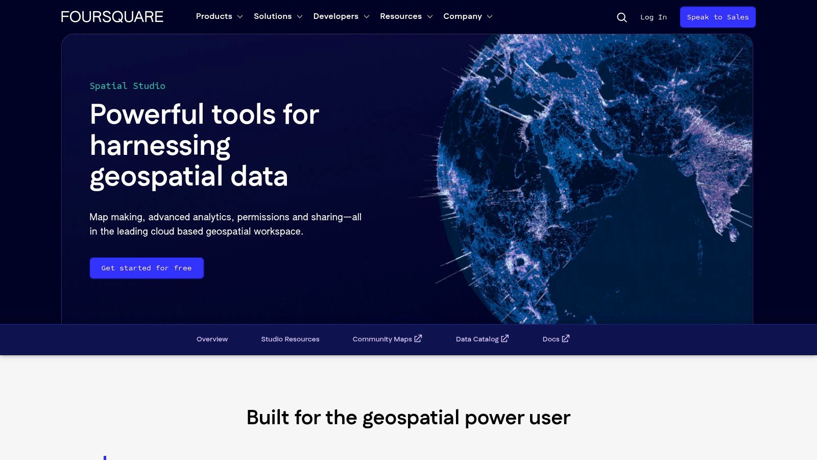
Foursquare Studio
This platform stands out as one of the best location intelligence software options for teams that need to bridge the gap between raw data and actionable insight. An underwriter can connect directly to a data warehouse like BigQuery or Snowflake, visualize an entire book of business across a region using advanced hex tiles (H3), and immediately spot areas of over-exposure to specific perils like flood or wildfire.
Key Features and Considerations
Foursquare Studio offers a flexible, tiered approach that includes a free Community version for individual users and paid plans for enterprise collaboration. A key differentiator is its desktop tooling combined with a SQL workbench, empowering analysts to query and visualize data in an integrated environment. The platform supports advanced layers, including flow maps and 3D visualizations, which are highly effective for modeling supply chain risk or post-catastrophe claims surges.
The pay-as-you-go pricing for its robust Places API and the free credits to start make it accessible for teams to experiment and scale. However, critical enterprise features like advanced collaboration tools and a centralized data catalog are reserved for paid tiers. It is an ideal solution for organizations that prioritize speed-to-insight and visualization over the deep, custom GIS modeling capabilities of more traditional platforms.
- Pros:
- Extremely fast big-data mapping without heavy infrastructure setup.
- Transparent API and tool pricing with free credits to get started.
- Direct connectors to major data warehouses like BigQuery and Snowflake.
- Cons:
- Key collaboration and data governance features are only available on paid plans.
- Less focused on deep spatial modeling compared to traditional GIS systems.
Website: https://foursquare.com/products/studio/
5. Precisely
Precisely offers an enterprise-grade location intelligence suite built on a foundation of data integrity. Its portfolio, including Spectrum Spatial for analytics and Spectrum Geocoding for accuracy, is designed to power core business processes like risk analysis and customer analytics. For insurers, its primary strength lies in delivering highly accurate address verification and geocoding, which is the critical first step for reliable risk assessment and portfolio management.
Precisely
This focus on data quality makes it one of the best location intelligence software choices for organizations where address accuracy is non-negotiable. By integrating Precisely’s enriched datasets, underwriters can append hundreds of attributes to a single address, gaining immediate insight into property characteristics, environmental hazards, and demographic context to inform pricing and exposure decisions.
Key Features and Considerations
Precisely provides notable deployment flexibility, offering its solutions on-premise, in the cloud, or directly through the Snowflake Marketplace for seamless geo-addressing and data enrichment. This adaptability allows an insurance firm to integrate high-quality location data directly into its existing cloud data warehouse, streamlining analytical workflows. For government-related risk analysis, some pricing guidance is available through marketplace listings, but most enterprise use cases require a custom quote.
This quote-based model, while typical for enterprise software, can be a hurdle for teams needing quick, transparent pricing. However, for organizations prioritizing best-in-class geocoding and data enrichment as the cornerstone of their location intelligence strategy, the investment is often justified by the reduction in data-related errors and improved model accuracy.
- Pros:
- Exceptional address quality, geocoding, and data enrichment capabilities.
- Multiple deployment options support on-premise, cloud, and marketplace integration.
- Robust suite of tools for comprehensive spatial analysis and data management.
- Cons:
- Pricing is mostly quote-based, lacking the transparency of tiered models.
- The comprehensive suite may be overly complex for smaller teams with basic needs.
Discover how Precisely's solutions are applied across different industries to enhance operational decisions.
Website: https://www.precisely.com/products/locate
6. Mapbox
Mapbox is a developer-centric platform that provides the building blocks for integrating custom location services directly into applications. Unlike comprehensive GIS platforms, Mapbox excels at offering powerful, unbundled APIs and SDKs for maps, geocoding, and routing. For insurance and risk management, this means carriers and insurtechs can embed precise location-based functionalities into their own proprietary applications—from agent portals to customer-facing claims submission tools—without the overhead of a full GIS suite.
Mapbox
This API-first approach makes it one of the best location intelligence software options for organizations needing to add specific features like address validation, drive-time calculations for adjusters, or interactive risk visualizations into their existing workflows. The focus is on seamless integration and performance, allowing for a highly customized and branded user experience.
Key Features and Considerations
The platform's strength lies in its modularity and granular, usage-based pricing. Insurers pay only for the services they consume, such as individual geocoding requests or map loads. This model offers exceptional cost control for specific use cases, such as verifying addresses for a new business application or visualizing a small portfolio of risks. Extensive SDKs for web and mobile platforms ensure a consistent experience across devices.
However, the developer-focused nature means it is not a turnkey solution. Implementing Mapbox requires development resources and expertise in working with APIs. For organizations with high-volume, multi-API workloads, the pay-as-you-go model can become complex to forecast and potentially more expensive than a bundled enterprise license from a competitor.
- Pros:
- Granular pay-as-you-go pricing model offers excellent cost control for specific needs.
- Strong developer documentation and robust SDKs for easy integration.
- High-performance, visually customizable maps for a branded user experience.
- Cons:
- Requires in-house or contracted development expertise for implementation.
- Pricing complexity can be a challenge for managing high-volume, multi-API workloads.
Website: https://www.mapbox.com/pricing/
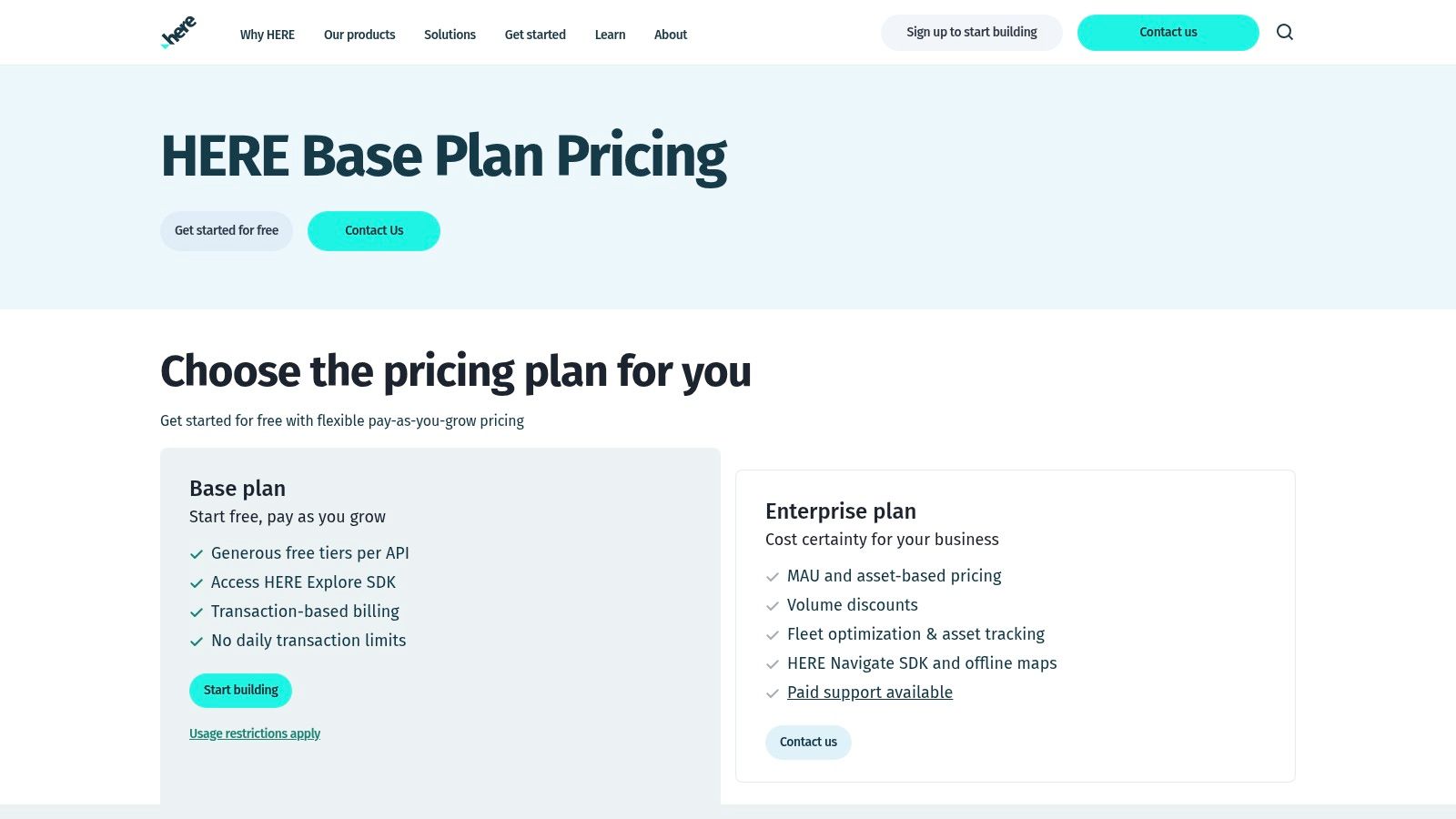
7. HERE Technologies
HERE Technologies offers a robust global location services platform renowned for its heritage in automotive, routing, and asset tracking. For insurance and risk management, its strength lies in providing highly accurate and reliable APIs for geocoding, routing, and isochrone analysis, which are critical for claims processing, fleet management, and exposure assessment. The platform allows insurers to integrate precise location data into their workflows, enhancing everything from first notice of loss (FNOL) logistics to optimizing adjuster routes during catastrophic events.
HERE Technologies
This makes it one of the best location intelligence software solutions for organizations needing dependable, scalable, and clearly priced location services. Insurers can leverage its powerful APIs to build custom applications for policy administration, risk visualization, or mobile workforce management, ensuring operational efficiency and data accuracy.
Key Features and Considerations
The platform's pricing model is a significant advantage, featuring a generous Freemium tier that includes 250,000 free monthly transactions and straightforward Pro plans with transparent overage costs. This accessibility allows smaller agencies or insurtech startups to develop and test location-based services with minimal initial investment. For larger enterprises, custom monthly active user (MAU) and asset-based pricing provides flexibility for large-scale deployments.
While the commercial terms for core data services are well-documented, accessing specific details for base plans and enterprise solutions often requires direct contact with sales. Information can also be scattered across various documentation portals, which may require effort to navigate. However, for use cases centered on logistics, automotive telematics, and precise routing, HERE's specialized data and powerful SDKs offer a compelling competitive advantage.
- Pros:
- Transparent overage pricing and flexible plans, including a generous free tier.
- Strong routing, traffic, and automotive data ideal for fleet and claims logistics.
- Enterprise MAU and asset pricing available for scalable solutions.
- Cons:
- Base plan details may require direct sales contact to clarify.
- Information can be scattered across different documentation sites.
Find out more about the coverage options from HERE Technologies to see how it can fit into your risk assessment toolkit.
Website: https://www.here.com/get-started/pricing
8. Google Maps Platform
Google Maps Platform is one of the most mature and widely adopted location intelligence platforms, providing foundational services for countless applications. For insurance and risk management, its strengths lie in its high-quality geocoding, extensive Places data, and reliable routing APIs. These services are critical for initial underwriting tasks like address validation, property characteristic lookups, and proximity analysis to potential hazards.
Google Maps Platform
The platform’s familiarity and robust developer ecosystem make it a go-to choice for integrating basic mapping and location services into underwriting portals or claims management systems. Its transparent pricing and integration with Google Cloud simplify procurement and billing, making it accessible for both small MGAs and large carriers.
Key Features and Considerations
Google Maps Platform operates on a transparent, pay-as-you-go model with various SKUs for services like the Places API, geocoding, and autocomplete. New accounts often receive credits, and the large developer community provides a strong support network. The platform's robust SLAs ensure reliability for business-critical operations.
However, organizations must carefully monitor their API usage, as costs can escalate quickly with heavy reliance on the Places API for large-scale portfolio analysis. Additionally, data storage rights vary by API endpoint—a critical consideration for insurers needing to store geocoded results for long-term risk modeling and compliance. It is an excellent tool for foundational location tasks but may require supplementation for deep spatial analytics.
- Pros:
- High-quality basemaps and extensive point-of-interest (POI) data.
- Familiar to developers with a straightforward procurement process via Google Cloud.
- Transparent, SKU-based pricing with reliable service-level agreements.
- Cons:
- Costs can become significant with high-volume use of certain APIs like Places.
- Data storage rights and terms of service can be restrictive for insurance use cases.
Website: https://developers.google.com/maps/billing-and-pricing/pricing
9. Alteryx
Alteryx positions itself as an analytic process automation (APA) platform where spatial analysis is a powerful component rather than the sole focus. It excels in enabling business analysts, including those in insurance, to build complex, repeatable data workflows without writing code. For insurance professionals, this means they can independently blend policy data with third-party location and demographic information, perform spatial matching, and calculate drive-times or trade areas for agent territory planning.
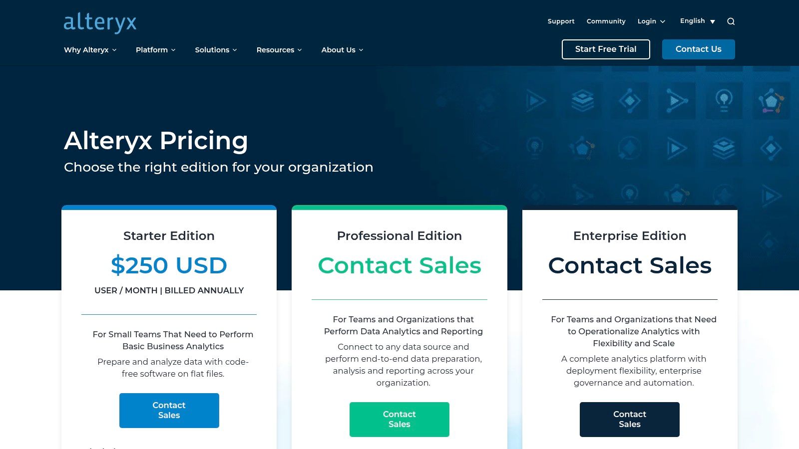
Alteryx
This makes it one of the best location intelligence software choices for teams that need to integrate spatial analytics directly into broader business intelligence and reporting pipelines. The platform’s strength lies in its extensive library of data connectors, which simplifies pulling information from disparate enterprise systems like Salesforce or Snowflake and enriching it with spatial context for underwriting or claims analysis.
Key Features and Considerations
Alteryx is offered through its Designer Desktop and Cloud SKUs, with specialized add-ons for location and consumer insights data that unlock deeper analytical capabilities. This model allows organizations to start with core analytics and scale into more sophisticated geospatial functions as needed. The visual, drag-and-drop workflow designer is highly intuitive for analysts familiar with ETL (Extract, Transform, Load) processes but new to spatial data.
However, the platform comes with a premium price tag, and access to the full suite of location intelligence tools requires additional investment in add-ons or higher-tier cloud editions. Its primary value is realized in environments where analysts need to repeatedly process and blend large, diverse datasets for business intelligence. Read our article to learn more about Alteryx's role in real-time data analytics and its impact.
- Pros:
- Empowers non-coders and business analysts to build sophisticated spatial workflows.
- Excellent integration with the enterprise BI and data warehouse ecosystem.
- Highly repeatable and automatable analytic processes.
- Cons:
- Premium pricing creates a high barrier to entry.
- Key location intelligence features often require costly add-ons.
Website: https://www.alteryx.com/products/pricing
10. QGIS
QGIS is a professional-grade, open-source Geographic Information System (GIS) that provides a powerful and cost-effective entry point into location intelligence. For insurance carriers, MGAs, or risk analysts operating with budget constraints or seeking a flexible platform for pilot projects, QGIS offers an extensive suite of spatial analysis tools without any licensing fees. It enables users to perform detailed risk mapping, demographic analysis, and exposure assessments with a high degree of control.
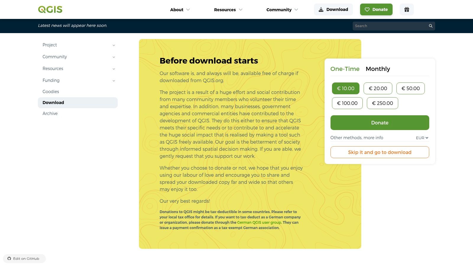
QGIS
As one of the best location intelligence software options for those prioritizing flexibility and cost, its strength lies in its vast plugin ecosystem and active global community. This allows teams to customize the software to fit specific underwriting, claims, or portfolio management workflows. While QGIS offers robust open-source geospatial tools, exploring other open-source alternatives like Resgrid can provide specialized solutions for areas such as emergency response and resource management.
Key Features and Considerations
Available as a free download for all major operating systems, QGIS is supported by extensive community documentation and tutorials, making it accessible for learning and development. Its compatibility with numerous data formats, including those from commercial platforms like Esri, ensures seamless integration into existing data environments. This interoperability is crucial for teams that need to collaborate with partners or access public sector data.
However, the trade-off for its no-cost model is the absence of dedicated enterprise support. Organizations requiring guaranteed uptime and immediate technical assistance must rely on third-party commercial support providers. This makes it ideal for internal analytics teams with GIS expertise but potentially challenging for business users seeking a turnkey solution.
- Pros:
- Completely free with no licensing costs, offering powerful GIS capabilities.
- Extensive plugin library and active community provide immense flexibility.
- Widely used in academia and the public sector, facilitating data sharing.
- Cons:
- Lacks native enterprise-level support, requiring third-party vendors for help.
- The user interface can be less intuitive for those new to traditional GIS software.
Website: https://www.qgis.org/download/
11. AWS Marketplace
AWS Marketplace is not a standalone location intelligence tool but a centralized digital catalog where organizations can find, buy, and deploy a wide array of third-party software and data products. For insurance carriers and risk managers already invested in the AWS ecosystem, it streamlines the procurement of specialized location intelligence solutions. Instead of navigating separate vendor contracts, teams can subscribe to everything from geocoding APIs to advanced peril data directly through their existing AWS account, simplifying billing and vendor management.
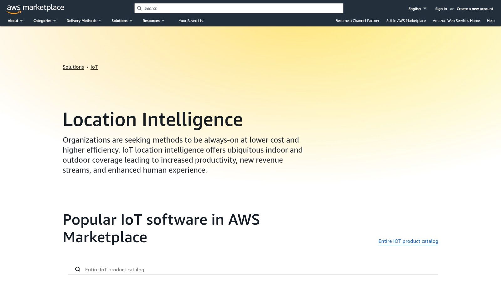
AWS Marketplace
This makes it one of the best sources for location intelligence software for teams prioritizing operational efficiency and seamless cloud integration. The platform allows for the discovery of niche data providers and SaaS tools that might otherwise be overlooked, all within a familiar procurement framework.
Key Features and Considerations
The primary value of AWS Marketplace lies in its integration and procurement model. It allows for pay-as-you-go, contract, and private offer pricing structures, giving buyers flexibility. An MGA could, for instance, test a new flood risk data provider with a flexible subscription before committing to a long-term contract, with all usage consolidated on their AWS bill. This significantly reduces the administrative burden of onboarding new vendors.
However, the sheer breadth of the catalog can be a double-edged sword. It requires buyers to perform their own due diligence, as the quality and pricing of location intelligence products can vary significantly between vendors. Without a clear evaluation strategy, navigating the options can be overwhelming compared to a single-provider solution.
- Pros:
- Streamlined procurement and consolidated billing through an existing AWS account.
- Access to a diverse ecosystem of specialized data and software vendors.
- Flexible pricing models, including private offers and metered billing.
- Cons:
- The vast catalog requires careful vetting to ensure product quality.
- Pricing and feature sets are determined by individual vendors, leading to inconsistency.
Website: https://aws.amazon.com/marketplace/solutions/IoT/location-intelligence
12. G2 – Location Intelligence Software Category
While not a software platform itself, G2’s Location Intelligence category is an indispensable resource for insurance professionals navigating the procurement process. It aggregates user reviews, feature comparisons, and market grids to provide a peer-driven perspective on the industry's top tools. For underwriters and risk managers tasked with shortlisting vendors, G2 offers a crucial first step in evaluating which solutions best fit their specific operational needs, from enterprise-grade GIS to niche analytics platforms.
This makes it a vital part of finding the best location intelligence software by offering a crowdsourced check against vendor marketing claims. Insurance firms can filter solutions based on company size, read candid reviews from users in similar roles, and quickly identify market leaders and emerging alternatives for specific use cases like territory management or risk accumulation analysis.
Key Features and Considerations
The platform's strength lies in its structured comparison matrices and user-generated feedback. A risk manager can directly compare the feature sets of two or three leading platforms side-by-side, while also reading recent reviews that may highlight implementation challenges or standout customer support experiences not mentioned in official documentation.
However, the utility of G2 is dependent on the quality and volume of reviews for any given platform. Newer or highly specialized tools may lack sufficient feedback for a thorough evaluation, requiring direct vendor engagement for validation. It is best used as a starting point for discovery and initial vetting rather than a final decision-making tool.
- Pros:
- Provides valuable peer feedback and candid user reviews for vendor shortlisting.
- Effective for identifying market leaders, challengers, and niche alternatives.
- Comparison grids help in quickly evaluating feature parity between tools.
- Cons:
- Review depth and quality can be inconsistent across different platforms.
- Information may require further validation directly with vendors.
Website: https://www.g2.com/categories/location-intelligence
Top 12 Location Intelligence Software Comparison
| Solution | Core Features & Capabilities | User Experience & Quality ★ | Value & Pricing 💰 | Target Audience 👥 | Unique Selling Points & Highlights ✨ |
|---|---|---|---|---|---|
| 🏆 Insurtech.bpcorp.eu | Real-time climate disaster monitoring, AI lead enrichment | ★★★★★ Fast delivery & verified data | 💰 Pay-per-opportunity, no upfront cost | 👥 Insurance providers, brokers, legal, recovery | ✨ Hyperlocal targeting, CRM-ready, guaranteed delivery |
| Esri ArcGIS | GIS APIs, enterprise deployments, spatial analytics | ★★★★ Large ecosystem & robust tools | 💰 Complex licensing tiers | 👥 Enterprise, public/private sectors | ✨ Deep spatial toolset, scalable solutions |
| CARTO | Cloud spatial analytics, low-code workflows | ★★★★ Strong integration & ease of use | 💰 Quote-based; requires sales engagement | 👥 Data teams, analysts, cloud users | ✨ Cloud-native, extensive analysis components |
| Foursquare Studio | Big-data mapping, SQL workbench, POI APIs | ★★★★ Fast mapping, free tier available | 💰 Pay-as-you-go with free credits | 👥 Enterprises, developers | ✨ Advanced layers (3D, Hex Tiles), easy start-up |
| Precisely | Enterprise location intelligence suite | ★★★★ Strong address & data quality | 💰 Quote-based, limited public pricing | 👥 Risk analysts, marketing, site selectors | ✨ Multi-deployment options, govt marketplace |
| Mapbox | Developer APIs/SDKs for maps & routing | ★★★★ Strong docs & community | 💰 Usage-based granular pricing | 👥 Developers, app integrators | ✨ Broad SDK coverage, pay-as-you-use |
| HERE Technologies | Location services, routing, automotive focus | ★★★★ Clear pricing & enterprise plans | 💰 Freemium + Pro plans | 👥 Automotive, asset tracking, enterprises | ✨ Strong routing, transparent overage pricing |
| Google Maps Platform | Maps, geocoding, places data | ★★★★ High-quality basemaps | 💰 Transparent SKU pricing, volume tiers | 👥 Developers, businesses | ✨ Large dev community, easy billing |
| Alteryx | No/low-code spatial analytics | ★★★★ Analyst-friendly workflows | 💰 Premium pricing, add-on fees | 👥 Analysts, BI users | ✨ Integrates BI & spatial in single platform |
| QGIS | Free, open-source GIS desktop | ★★★★ Strong plugin & community | 💰 Free | 👥 Academics, public sector, cost-conscious users | ✨ No licensing cost, broad OS support |
| AWS Marketplace | Location intelligence SaaS/data marketplace | ★★★ Good procurement & billing | 💰 Pay-as-you-go & contract options | 👥 US enterprises, cloud users | ✨ Consolidated AWS billing, private offers |
| G2 – Location Intelligence | User reviews, vendor ratings & comparisons | ★★★★ Helpful peer feedback | 💰 Pricing snapshots available | 👥 Buyers evaluating location software | ✨ Updated market insights, top vendor listings |
From Data to Decision: Choosing the Right Geospatial Partner
Navigating the landscape of location intelligence software can be challenging. The market offers a diverse array of platforms, from comprehensive GIS powerhouses like Esri ArcGIS to flexible, developer-focused toolkits like Mapbox and powerful data enrichment providers such as Precisely. Each solution presents a unique set of capabilities, and the ultimate decision rests not on finding a single "best" tool, but on identifying the *right* tool for your specific business objectives within the insurance and risk management sectors.
The central takeaway from this analysis is the critical need to align technology choice with operational strategy. Your selection process should be a strategic exercise, not just a technical one. A large commercial insurer managing a global portfolio will have vastly different requirements than a disaster recovery contractor needing to respond to localized events with speed and precision. The former may gravitate towards the deep analytical and modeling capabilities of CARTO or Alteryx, while the latter needs a direct pipeline to actionable, real-time opportunities.
Key Considerations Before You Commit
Before making a final decision, your team must move beyond feature lists and assess the practical realities of implementation and daily use. A tool that looks perfect on paper can become a significant operational drag if it doesn't fit your existing workflows.
Consider these final evaluation criteria:
- Integration and Scalability: How seamlessly will this platform integrate with your current CRM, claims management system, or underwriting platforms? Does it have a robust API? Can it scale to handle growing data volumes and an expanding user base without a significant drop in performance?
- Total Cost of Ownership (TCO): Look beyond the initial subscription fee. Factor in costs for implementation, employee training, data acquisition, and ongoing technical support. A free, open-source tool like QGIS offers immense power but requires significant in-house expertise, which represents a substantial cost.
- Speed to Value: How quickly can your team generate a tangible return on this investment? For underwriters, risk managers, and recovery professionals, value is often measured in speed and accuracy. The best location intelligence software for your needs will be the one that most rapidly translates raw geospatial data into profitable business decisions, whether that's pricing a policy more accurately or being the first to contact a property owner post-event.
The Strategic Shift from Reactive to Proactive
Ultimately, the goal of adopting advanced location intelligence is to transform your organization's posture from reactive to proactive. Instead of merely responding to claims as they arise, you can anticipate risks, model potential impacts, and identify opportunities before your competitors.
For professionals focused on event-driven business development, this shift is paramount. Solutions like Sentinel Shield by Insurtech.bpcorp.eu are engineered specifically for this purpose. They cut through the analytical noise to deliver what matters most: real-time, hyperlocal intelligence on climate events, enriched with the data needed to act immediately. This specialized approach, moving beyond broad-stroke analysis to targeted lead generation, represents a significant evolution in how geospatial data creates value in the insurance ecosystem. Your choice of software is a choice about your future competitive advantage.
---
Ready to see how specialized location intelligence can transform event-driven challenges into immediate revenue opportunities? Discover how Insurtech.bpcorp.eu delivers real-time, actionable climate event leads directly into your workflow. Explore the platform and start converting climate risk into business growth today at Insurtech.bpcorp.eu.